

|
|
|
PRB.png) |
|
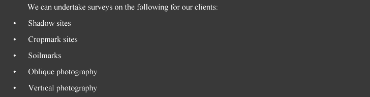
The use of aerial photography from light aircraft and remote sensing from space in archaeology has seen a growth in sites being discovered throughout the country over the past 20 years. It’s continued use is crucial to the recording and interpretation of archaeological sites, and to their monitoring with the ever increasing demands on farming practices, the environment and development. Archaeology and Heritage can undertake aerial surveys of landscapes, coastal zones, archaeological sites, historic and industrial buildings for recording and monitoring purposes.
Please contact us to find out more about our aerial surveys for recording and monitoring purposes. |
All material on this website, including images, text and graphics, is copyright © 2008 Archaeology and Heritage Management Consultancy unless otherwise stated. The material on this site should not be used, copied, stored or transmitted without the prior written consent of Archaeology and Heritage Management Consultancy in accordance with the Copyright, Designs and Patents Act 1988. |